
Scalable Design Participation is a Research Lab at Northeastern University in Boston. We develop digital tools that enable large groups of people to shape their own environments.
The big picture
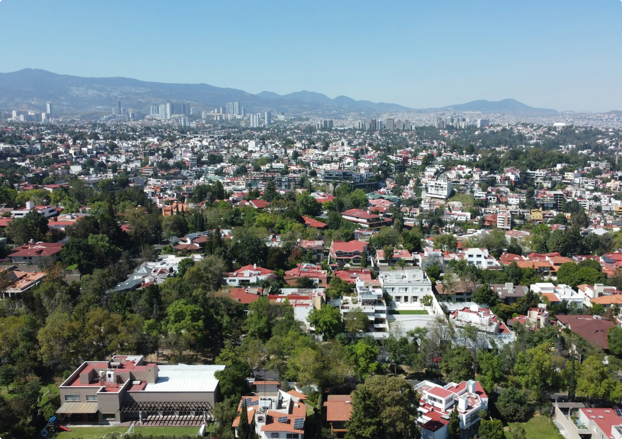
Within the next 40 years, we will see more urban fabric built than we have in the whole of human history. Such rapid urbanization is already occurring in most of the world—informally and without the guidance of planners, architects, or scientists, whilst further perpetuating existing structural inequities within our cities and social systems.
Because of policy exclusion, social stigma, and economic forces, vulnerable populations will continue to be displaced to environmentally exposed places, as large-scale technocratic infrastructural and design interventions continue to shape our response to the climate crisis.
Our approach
We advance the edge of how computing, public service, planning technologies, and design can be employed in planning and urban design practice as a medium to allow the broadest set of community members to shape their own environments sustainably, equitably, and holistically with the support of computational intelligence.
Our work connects traditions of participation and community design in planning with research in collaborative computing and participatory AI to offer both, a framework for incorporating user participation in the development of planning technologies, and computational tools to facilitate large scale community participation in planning with the support of large-scale modeling and civic data production.
Through a growing number of partnerships with local and federal governments, non-profits and local organizations, we have—powered by open-source software—implemented this research on-the-ground in service of justice-centered computational planning and design practices.
Civic Technology
Our research explores computing interfaces that mediate new forms of community engagement between and among residents, grassroots organizations and municipal institutions.
We extend practices in participatory design to the design of software and hardware—which is itself a growing part of urban infrastructure, to develop new digital platforms that enabled a large-scale community-led design process.
Collaborative Tools
Our tools allow thousands of users to simultaneously work together in a collective deliberative planning and design process.
Through online real-time, shared visualization planning and design platforms that are accessible to stakeholders, planners, and the community, we provide them with insights of the ecological impacts, solutions, and trade-offs of planning interventions in real-time.
Participatory AI Models
Through strong community partnerships, participatory design approaches, and with the support of our collaborative computing platforms, we explore the essential role that community-engaged research has in the development of AI models.
We focus on collecting and producing civic data of under-represented populations in the Majority World and to contextually study resident-led issues.
Geospatial Computing
This work brings forth the potential for technology to focus on pluralism, collaboration, and transparency in the service of justice in the built environment.
Our applications focus on drawing as an intuitive interface between citizens, spatial data, and planning practitioners, coupled with novel computational representations, modes of interaction, and interfaces, to encourage public participation in data-driven analysis and design.
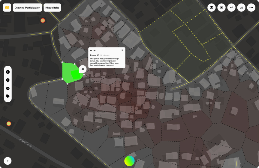
Drawing Participation
Real-time collaboration for interactive mapping participation with version control
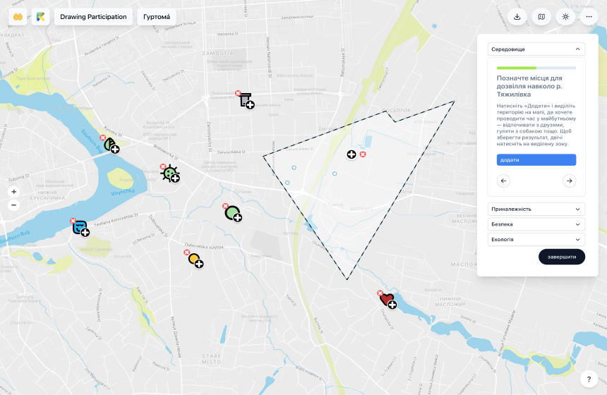
Drawing Participation: Гуртомá
Interactive mapping for residents to restore neighborhoods and rivers in Ukraine
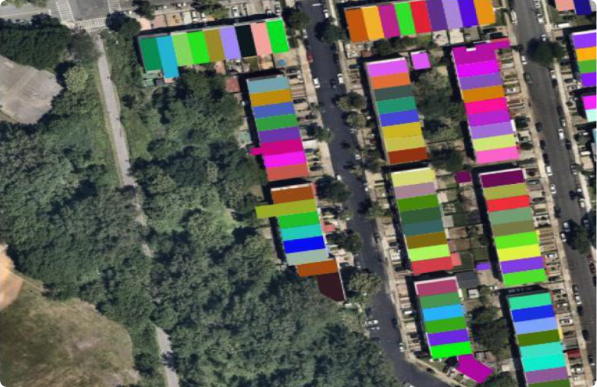
Reblocking a Million Neighborhoods
Creating parcel data from satellite imagery for data-scarce environments through generative ensemble learning.
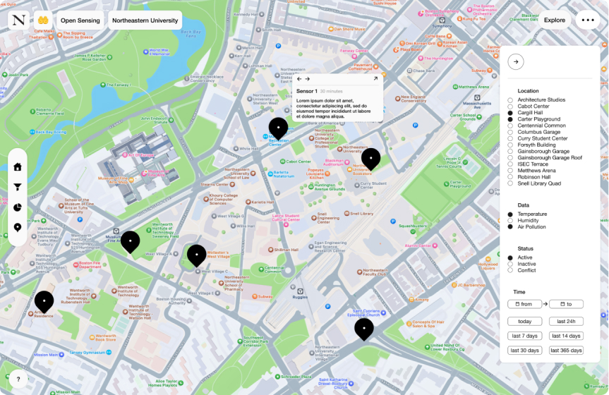
Open Sensing
Open hardware and software for environmental sensing within local communities.
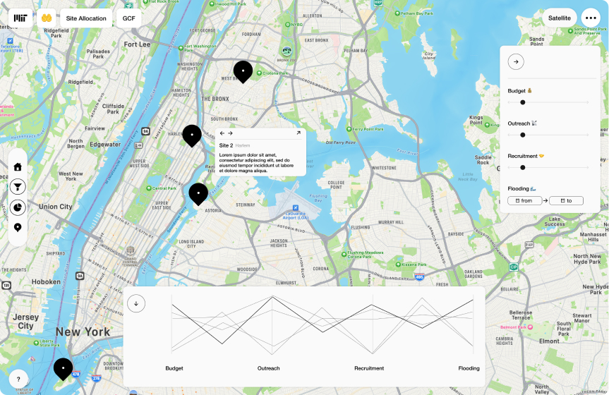
Site Allocation
Identifying potential sites for community organizations through interactive optimization.
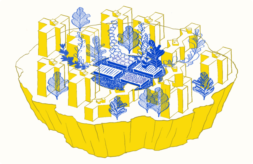
Food for Thought
Interactive community outreach and engagement for NYC's Green City Force.
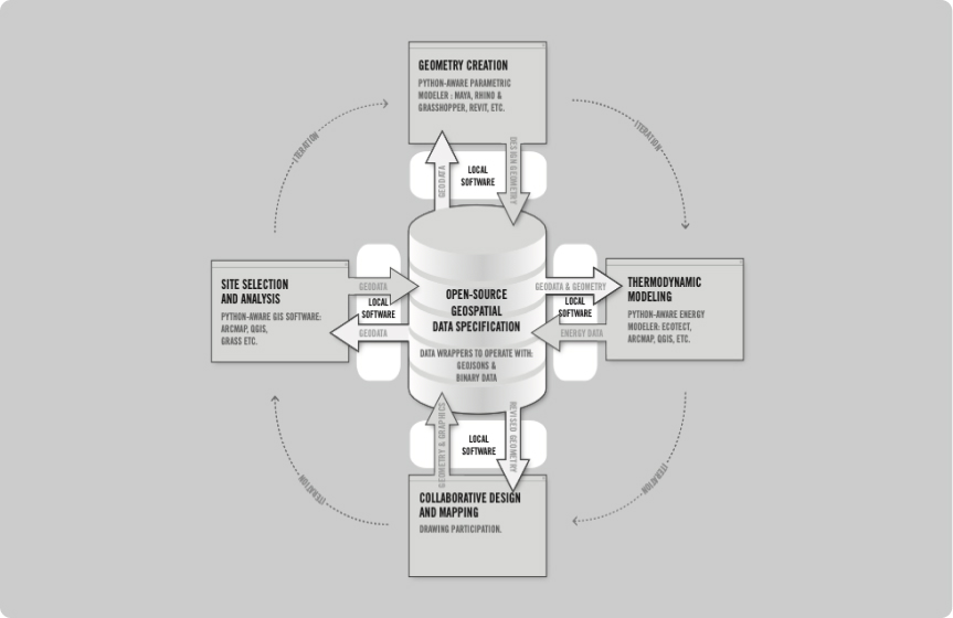
Local Software
CAD and GIS plugins to seamlessly connect design tools with spatial analysis.
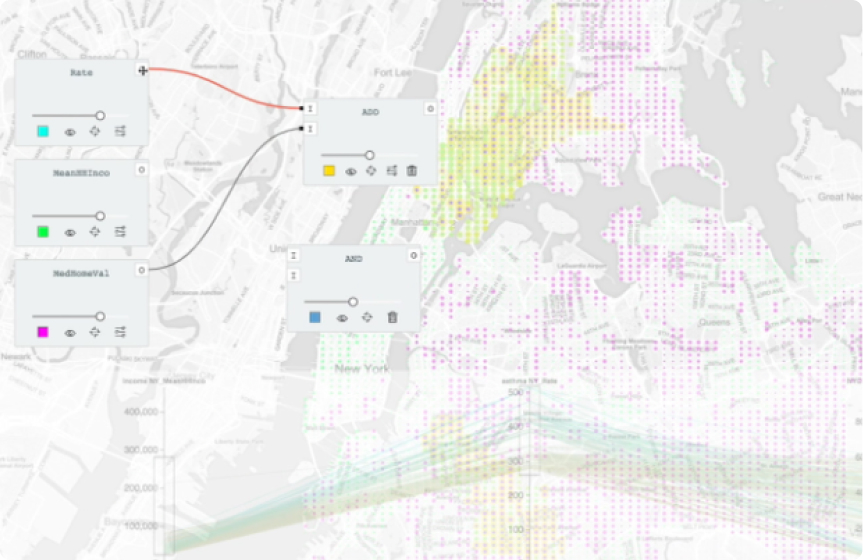
Painting with Data
Visually-based approach to spatial analysis and mapping, dramatically reducing the learning curve for GIS software.
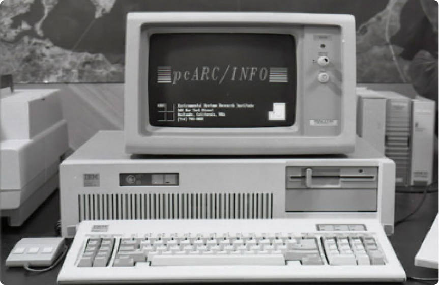
Drawing out the Computer Map
Computing and community participation in the design of the built environment, a historic and contemporary overview.
Our output
We believe in open source, open data, and open learning. We publish our work through multiple channels—no matter if software code, hardware manuals, computational models, or scientific publications.
About us
We are Carlos Sandoval Olascoaga↗, Leonard Schrage↗, Uriel Legaria Peña, Chucho Ocampo↗, Dezeng Kong, Bill Ngo, Reid Kovacs, Katelyn McVay↗, and Demircan Tas↗.
We are located at Northeastern University in Boston, where we are affiliated with the College of Arts, Media and Design (CAMD) and the College of Computer Sciences (Khoury). Our team has a core expertise in computer science, urban planning, and architecture.
Let's talk
We are open for collaboration and partnerships and would love to hear from you. We have preseneted our work internationally and are continuously looking for researchers, post-docs, PhD students and student co-ops with a focus on software design and development, computer vision and machine learning, computational urban science, and related fields.
